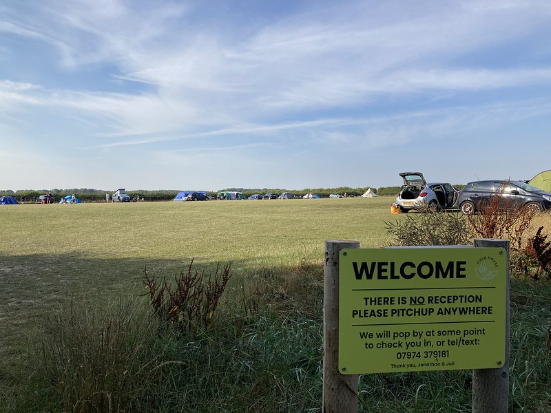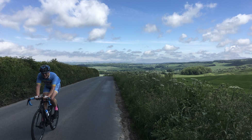

In 2010 a series of eight Big Skies Bike Rides was launched with the aim of encouraging cyclists to discover the varied and interesting terrain of the Yorkshire Wolds. ‘Thixendale from Malton or Norton on Derwent’ is an at times challenging ride of just over twenty miles. It includes the stiff climb out of Birsdall; the wonderful Water Dale descent in to Thixendale; Burdale, with the short but punchy Fairy Dale climb up to Wharram Percy Wold; the reward of an enjoyable descent of Grimston Brow, and the final downhill stretch over Langton Wold as the route is retraced back to the start.
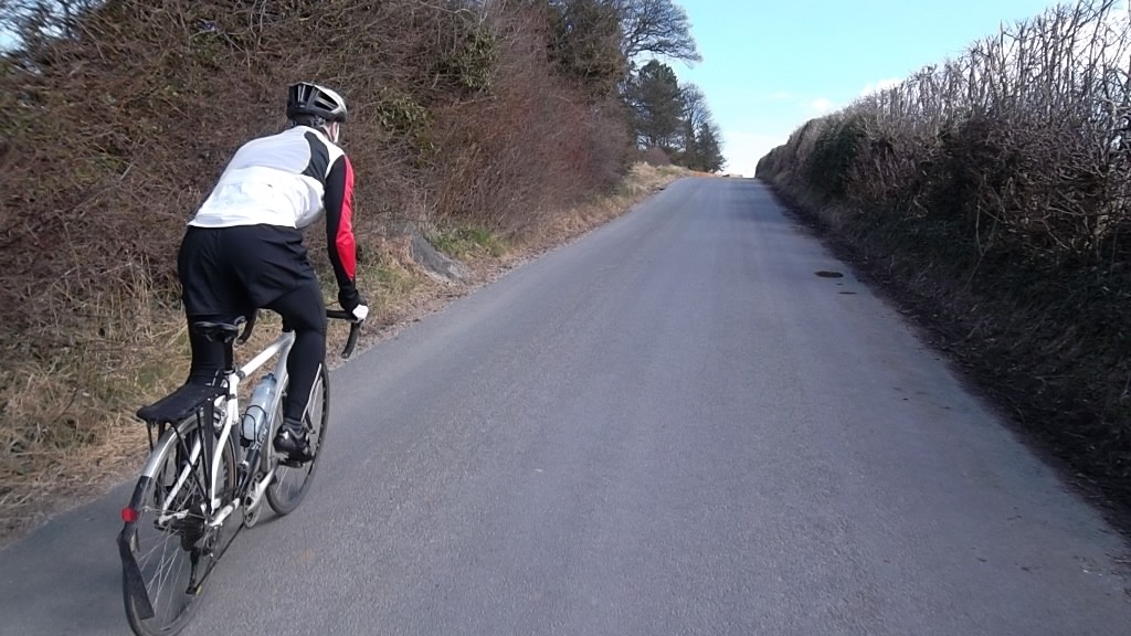
The only criticisms of this route – levelled by one of the group of cyclists who rode with me one day way back in 2012 – concerns the same road: the route over Langton Wold to and from Malton. It’s a fast descent but, unsurprisingly, a correspondingly slow ascent, which isn’t a problem with the other, quieter uphill stretches on this ride. It’s just that this can be a busy road and, for me at least, there is a greater sense of vulnerability as I puff and pant uphill with motor vehicles whizzing past. The other objection on the day was Langton Wold is effectively and ‘out-and-back’; a circular route is generally preferred by the majority of my ride buddies. Still, the same climb forms part of the Pock Pedal, following refreshments in a community centre or similar in Malton/Norton. Perhaps it’s an age thing.
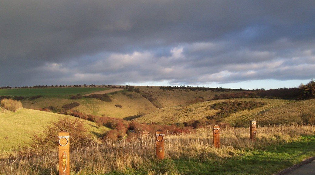
Once over Langton Wold from the start in Malton there is a descent towards Birdsall and pretty views to be had through the estate of Birdsall House, one of an increasing number of Yorkshire country houses now offering its services as a film set.
Continue reading Shorter Loops: Thixendale Big Skies Bike Ride