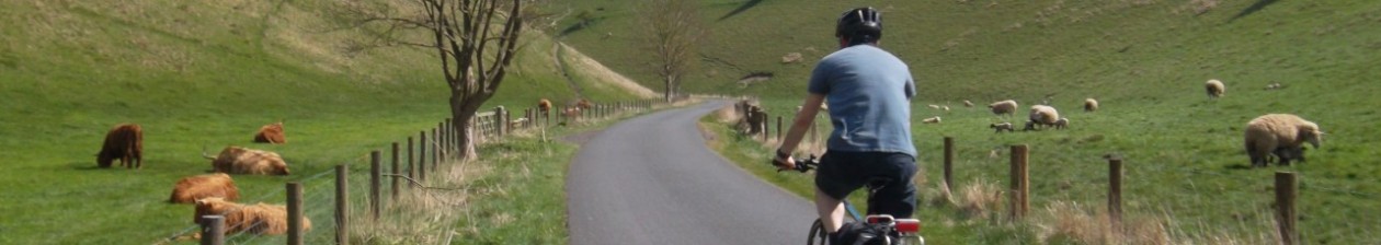
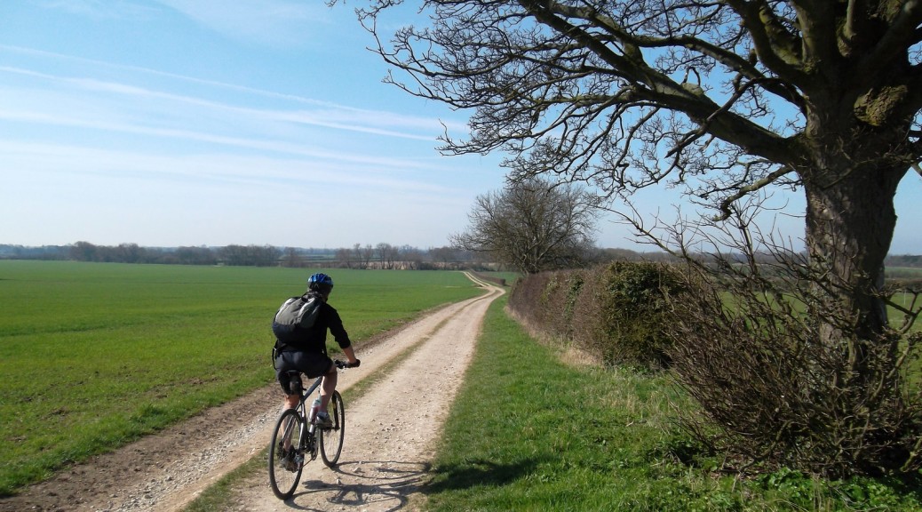
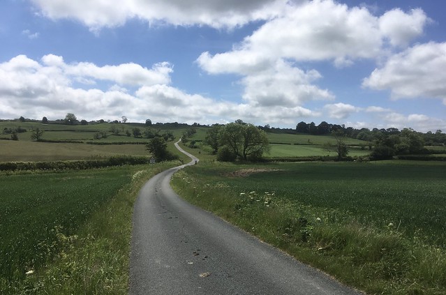
The Big Skies Bike Rides are a series of loops created in 2010. They take their name from the phrase used by David Hockney when he compared the sky over the Yorkshire Wolds to ‘the big sky’ he experienced in the American West. Most rides can be reached by train, but Market Weighton and Pocklington have long since lost their rail links. Sledmere is on the high Wolds, and Stamford Bridge – straddling both the River Derwent and the East Riding of Yorkshire/North Yorkshire border – was added to the original eight some time after the others. The rides are graded as Easy/Moderate/Hard and all but the Stamford Bridge ride set off from towns or villages that are points on the Yorkshire Wolds Cycle Route. All have places to eat and drink on the route or back at the start.
East Riding of Yorkshire Council has also produced several cycle maps and GPX files. Four of the maps start from the same points as the Big Skies Bike Rides.
** Update March 2024 ** The shifting sands of local authority tourism bodies, their web sites and URLs has meant that some of the links below have had to be corrected from time to time. Some have disappeared altogether. Consequently, as of March 2024 this paragraph contains a link to a WaybackMachine URL for Visit Hull and East Yorkshire Big Skies Bike Rides that details all nine Big Skies Bike Rides (including ‘Western Wolds from Stamford Bridge’) from where the individual PDF files can be downloaded.
NB the overall map shows the proposed version of the Yorkshire Wolds Cycle Route which was never adopted. Any YWCR map that doesn’t show the route visiting Hunmanby is incorrect.
Big Skies Bike Rides quicklinks
(See also East Riding of Yorkshire cycle maps from those places shown in bold)
North Newbald and back from Beverley >
South Dalton, Lockington & Lund from Market Weighton >
Millington Dale & Warter from Pocklington >
Thixendale from Malton or Norton on Derwent >
Sledmere Country from Sledmere >
Great Wold Valley from Hunmanby >
Bempton Cliffs & Rudston from Bridlington >
Burton Agnes & Kirkham from Driffield >
Western Wolds from Stamford Bridge >
I’ve ridden each of these routes at least once and intend to ride them all again in order to record them as activities in Garmin Connect and as Strava segments (this allows those without a Strava account to view an electronic version of the ride). When I was getting back in to cycling a decade ago these short loops provided a welcome incentive when I wasn’t feeling up to longer rides and in many cases showed me parts of the Yorkshire Wolds I wouldn’t otherwise have visited. I have enjoyed all of the Big Skies Bike Rides, although a combination of poor weather and an unconvinced ride buddy meant I don’t have particularly fond memories of the Driffield loop. Maybe next time…
A brief description of the loops can be found at the Visit East Yorkshire | Cycling | Big Skies Bike Rides page (which, at the time of writing, does not include ‘Western Wolds from Stamford Bridge’). There is also a downloadable PDF overview of the Big Skies Bike Rides.
The following list includes links to the official PDF maps and, where they exist, my own ride reports, Garmin Connect activities and Strava links.
North Newbald and back from Beverley, 19.5 miles (31km), Grade: Medium – Easy/Moderate
Clockwise. Highlights include Littlewood Road, Trundlegate and Newbald Wold/Walkington Heads.
Check out my version of this ride on Garmin Connect or Strava.
Download the PDF map for North Newbald and back from Beverley and the East Riding of Yorkshire Beverley Cycle Map.
See also my own ride report for the Beverley Big Skies Bike Ride.
South Dalton, Lockington & Lund from Market Weighton, 20.5 miles (33km), Grade: Long – Easy/Moderate
Anti-clockwise. Highlights include Kiplingcotes Valley, Dalton Park, Lund Wold and Money Hill, Goodmanham Wold.
Check out this ride with the alternative start point of Goodmanham as a Garmin Connect activity or as a Strava segment
Download the PDF map for South Dalton, Lockington & Lund from Market Weighton
See also my own ride report for the Market Weighton Big Skies Bike Ride.
Millington Dale & Warter from Pocklington, 17.5 miles (28km), Grade: Medium – Moderate
Clockwise. Highlights include Millington Dale, Warter Wold and Back Lane to Nunburnholme.

View this ride as a Garmin Connect activity and Strava segment.
Download the PDF map for Millington Dale & Warter from Pocklington and the East Riding of Yorkshire Pocklington Cycle Map.
See also my own ride report for the Pocklington Big Skies Bike Ride.
Thixendale from Malton or Norton on Derwent, 21.5 miles (35km), Grade: Long – Hard
Anti-clockwise. Highlights include Birdsall Brow, Water Dale in to Thixendale, Birdsall Brow and Luddith Road (Grimston Brow).
Download the PDF map for Thixendale from Malton or Norton on Derwent
See also my own ride report for the Malton/Norton Big Skies Bike Ride.
Sledmere Country from Sledmere, 17.5 miles (28km), Medium: Moderate
Anti-clockwise. Highlights include Thirkleby Wold, Haverdale track, High Mowthorpe, Duggleby Wold and the road from Kirkby Grindalythe.

View this ride as a Garmin Connect activity or a Strava segment.
Download the PDF map for Sledmere Country from Sledmere
Great Wold Valley from Hunmanby, 21.1 miles (34km), Grade: Long – Moderate
Clockwise. Highlights include Thwing to Foxholes, Ganton Wold, Cotton Dale and Cans Dale.

Download the PDF map for Great Wold Valley from Hunmanby
Bempton Cliffs & Rudston from Bridlington, 23.5 miles (37km), Long – Easy/Moderate
Anti-clockwise. Highlights include Bempton Cliffs, East Leys/North Dale, Argham, Rudston Monolith and Woldgate.

Download the PDF map for Bempton Cliffs & Rudston from Bridlington and the East Riding of Yorkshire Bridlington Cycle Map
Burton Agnes & Kilham from Driffield, 24 miles (38km), Long – Easy
Anti-clockwise. Highlights include traffic-free sections between railway crossings, Roman Road to Kilham and Nafferton Wold.

Download the PDF map for Burton Agnes & Kilham from Driffield and the East Riding of Yorkshire Driffield Cycle Map
Western Wolds from Stamford Bridge, 27.8 miles (45km), Long – Hard
Clockwise. Highlights include Acklam Wold, Roman Road, Great Givendale and High Belthorpe track.

View this ride as a Garmin Connect activity (pre Strava).