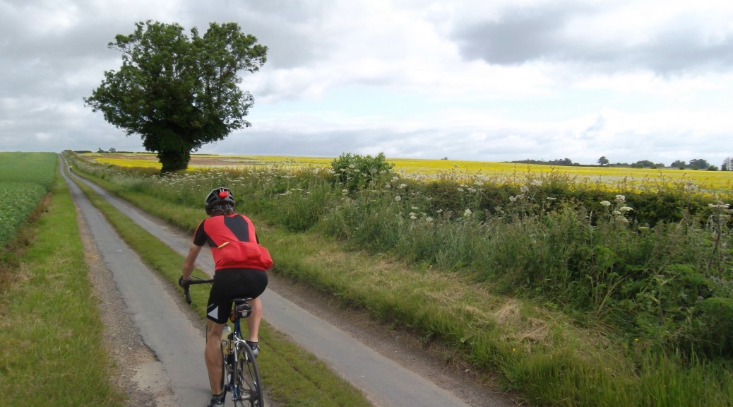
I’ve been cycling in and around the Yorkshire Wolds since I was twelve years old. I have to confess that my teenage years and beyond brought motor cars and other distractions that meant cycling was not always my number one priority. Periodic returns to the bike didn’t amount to much until around 2009 when my wife bought me a road bike. An important part of my reintroduction to cycling in the Yorkshire Wolds was the Big Skies Bike Rides. These relatively short little routes reminded me of the many varied pleasures to be had in the Wolds – as well as introducing me to a fair number of roads new to me along the way.
Perhaps in response to the success of the Big Skies Bike Rides, the East Riding of Yorkshire Council produced its own cycling maps. For the Pocklington map I was flattered to be asked if one or two of my photographs could be used. Was it a dramatic landscape scene capturing the juxtaposition of bright sunlight against the ominous, threatening black rolling clouds reminding us of the changeable weather in these days of global warming? No, they were after my push bike propped up outside a pub. Still, there are some lovely rides out of Pocklington and many others in the series of East Riding of Yorkshire cycle maps.
The National Byway is an interesting undertaking. It appears still to be the work of one man. Spinning off the national route is a series of ‘local loops’, and a few are in and around the Yorkshire Wolds. The Yorkshire map (which includes parts of Northern Lincolnshire) is available online, and at some point I will ride the Driffield local loop and report back.
Probably the greatest benefit of the likes of Garmin Connect and Strava is the ability to share routes with other cyclists. Under the category ‘Shorter Loops‘ you will find a selection of routes I have ridden myself or plotted for others. This will be added to by routes I have yet to ride as well as those from my Garmin ‘activities’ archive such as the first one – ‘Skinny Loop to Sledmere from Little Weighton‘.

